
Faraba topographic map
Interactive map
Click on the map to display elevation.
About this map
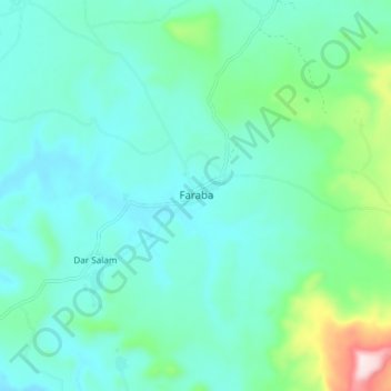
Name: Faraba topographic map, elevation, terrain.
Location: Faraba, Cercle de Kéniéba, Kayes, Mali (12.39311 -10.93820 12.47311 -10.85820)
Average elevation: 236 m
Minimum elevation: 157 m
Maximum elevation: 583 m
Other topographic maps
Click on a map to view its topography, its elevation and its terrain.