
Monte Alén National Park topographic map
Interactive map
Click on the map to display elevation.
About this map
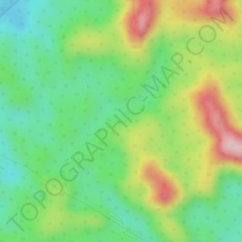
Name: Monte Alén National Park topographic map, elevation, terrain.
Location: Monte Alén National Park, Centro Sur, Äquatorialguinea (1.49044 10.38927 1.49054 10.38937)
Average elevation: 646 m
Minimum elevation: 531 m
Maximum elevation: 807 m