
Jabal al Ma' topographic map
Interactive map
Click on the map to display elevation.
About this map
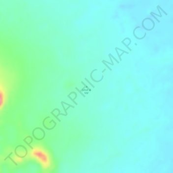
Name: Jabal al Ma' topographic map, elevation, terrain.
Location: Jabal al Ma', Northern State, Sudan (17.73328 29.11662 17.73338 29.11672)
Average elevation: 374 m
Minimum elevation: 354 m
Maximum elevation: 444 m
Other topographic maps
Click on a map to view its topography, its elevation and its terrain.