
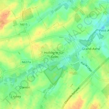
Hollogne-sur-Geer topographic map
Interactive map
Click on the map to display elevation.
About this map
Name: Hollogne-sur-Geer topographic map, elevation, terrain.
Location: Hollogne-sur-Geer, Geer, Waremme, Liège, Wallonia, 4250, Belgium (50.65694 5.18428 50.69694 5.22428)
Average elevation: 129 m
Minimum elevation: 114 m
Maximum elevation: 147 m
Other topographic maps
Click on a map to view its topography, its elevation and its terrain.