
Margete topographic map
Interactive map
Click on the map to display elevation.
About this map
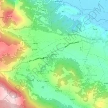
Name: Margete topographic map, elevation, terrain.
Location: Margete, Poljica, Općina Podbablje, 21263, Croatia (43.40531 17.11374 43.44531 17.15374)
Average elevation: 420 m
Minimum elevation: 265 m
Maximum elevation: 715 m