
Crawford County topographic map
Interactive map
Click on the map to display elevation.
About this map
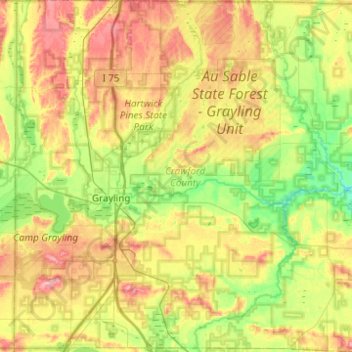
Name: Crawford County topographic map, elevation, terrain.
Location: Crawford County, Michigan, VS (44.50745 -84.85335 44.85802 -84.37293)
Average elevation: 369 m
Minimum elevation: 307 m
Maximum elevation: 466 m
Other topographic maps
Click on a map to view its topography, its elevation and its terrain.
Hamburg Township
VS > Michigan > Hamburg Township
Hamburg Township, Livingston County, Michigan, 48143, VS
Average elevation: 274 m