
Jagerberg topographic map
Interactive map
Click on the map to display elevation.
About this map
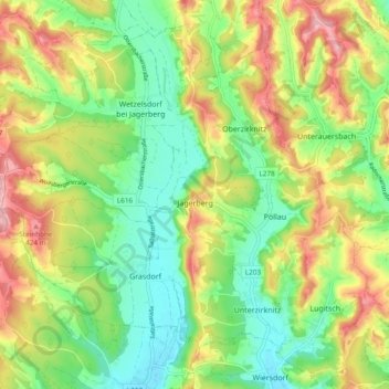
Name: Jagerberg topographic map, elevation, terrain.
Location: Jagerberg, Südoststeiermark, Steiermark, 8091, Österreich (46.82578 15.68509 46.88555 15.77995)
Average elevation: 343 m
Minimum elevation: 278 m
Maximum elevation: 435 m