Geolocate

Subarnapur topographic map

Click on the map to display elevation.

About this map

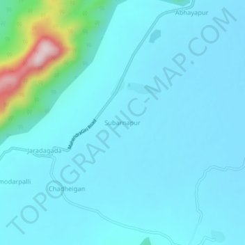
Name: Subarnapur topographic map, elevation, terrain.

Location: Subarnapur, Jarada, Ganjam District, Odisha, 761005, India (19.06143 84.49445 19.10143 84.53445)

Average elevation: 82 m

Minimum elevation: 35 m

Maximum elevation: 461 m

Gear up for your next adventure:

👖Convertible Hiking Trousers - Versatile zip-off pants for changing mountain weather conditions
🧵Survival Paracord - Multi-purpose cordage for emergency repairs and shelters
🌦️Portable Weather Meters - Handheld tools for monitoring weather conditions
🎒Hiking Daypacks - Compact backpacks ideal for short hikes and excursions
🥾Hiking Boot Waterproofing Wax - Maintain the lifespan of your leather trekking boots

As an Amazon Associate, this site earns from qualifying purchases at no extra cost to you.