
泗顶镇 topographic map
Interactive map
Click on the map to display elevation.
About this map
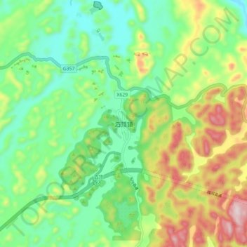
Name: 泗顶镇 topographic map, elevation, terrain.
Location: 泗顶镇, 融安县, 柳州市, 广西壮族自治区, 中国 (24.99677 109.48543 25.07677 109.56543)
Average elevation: 414 m
Minimum elevation: 242 m
Maximum elevation: 727 m
Other topographic maps
Click on a map to view its topography, its elevation and its terrain.