
Centre Commercial topographic map
Interactive map
Click on the map to display elevation.
About this map
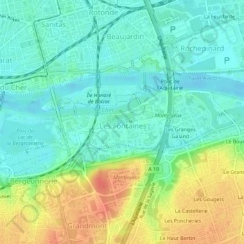
Name: Centre Commercial topographic map, elevation, terrain.
Average elevation: 60 m
Minimum elevation: 43 m
Maximum elevation: 93 m
Other topographic maps
Click on a map to view its topography, its elevation and its terrain.
Parc de la Gloriette
France > Centre-Val de Loire > Tours
Parc de la Gloriette, Gloriette, Tours, Indre-et-Loire, Centre-Val de Loire, France métropolitaine, France
Average elevation: 58 m