
Torotoro topographic map
Interactive map
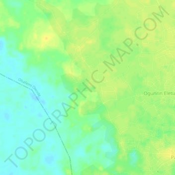
Click on the map to display elevation.
About this map
Name: Torotoro topographic map, elevation, terrain.
Location: Torotoro, Obafemi Owode, État d'Ogun, Nigéria (6.79790 3.38011 6.83790 3.42011)
Average elevation: 17 m
Minimum elevation: 5 m
Maximum elevation: 27 m