
Dor topographic map
Click on the map to display elevation.
About this map
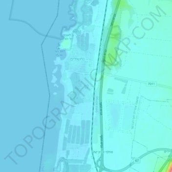
Name: Dor topographic map, elevation, terrain.
Average elevation: 5 m
Minimum elevation: -1 m
Maximum elevation: 79 m
Other topographic maps
Click on a map to view its topography, its elevation and its terrain.
Nahal Taninim
Israel > Haifa District > Hof HaCarmel Regional Council > Caesarea
Average elevation: 32 m
Caesarea National Park
Israel > Haifa District > Hof HaCarmel Regional Council > Caesarea
Average elevation: 8 m
Hof Dor & Ma'agan Michael Islans Nature Reserve
Israel > Haifa District > Hof HaCarmel Regional Council
Average elevation: 2 m