
金山铺乡 topographic map
Interactive map
Click on the map to display elevation.
About this map
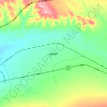
Name: 金山铺乡 topographic map, elevation, terrain.
Location: 金山铺乡, 繁峙县, 忻州市, 山西省, 中国 (39.25468 113.63913 39.33468 113.71913)
Average elevation: 1,179 m
Minimum elevation: 1,112 m
Maximum elevation: 1,309 m