
Badikayalapalle topographic map
Interactive map
Click on the map to display elevation.
About this map
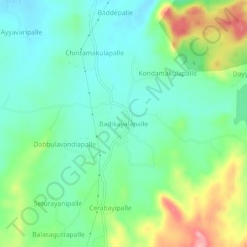
Name: Badikayalapalle topographic map, elevation, terrain.
Average elevation: 698 m
Minimum elevation: 657 m
Maximum elevation: 787 m
Other topographic maps
Click on a map to view its topography, its elevation and its terrain.
Ghattu
India > Andhra Pradesh > B. Kothakota
Ghattu, B. Kothakota, Annamayya, Andhra Pradesh, India
Average elevation: 709 m