
Keo Seima Wildlife Sanctuary topographic map
Interactive map
Click on the map to display elevation.
Keo Seima Wildlife Sanctuary
Mixed forest types and a range of elevation gives rise to a rich collection of biodiversity, both flora and fauna. A total of 959 plant, fungi, and animal species have been recorded in the area, the highest reported number for any Cambodian protected area. A total of 356 bird species have been recorded, exceeding the highest number recorded on eBird for any site in Cambodia and with at least 21 Picidae species, KSWS has one of the highest global diversities of any site.
About this map
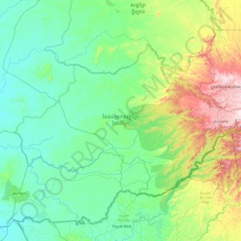
Name: Keo Seima Wildlife Sanctuary topographic map, elevation, terrain.
Location: Keo Seima Wildlife Sanctuary, Mondulkiri, Cambodia (12.06196 106.40139 12.61204 107.29294)
Average elevation: 201 m
Minimum elevation: 40 m
Maximum elevation: 830 m
Other topographic maps
Click on a map to view its topography, its elevation and its terrain.