
Alkol topographic map
Click on the map to display elevation.
About this map
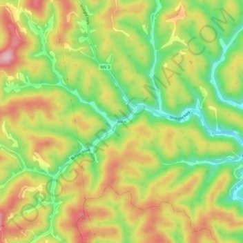
Name: Alkol topographic map, elevation, terrain.
Location: Alkol, Lincoln County, West Virginia, 25572, United States (38.14287 -81.94485 38.18287 -81.90485)
Average elevation: 304 m
Minimum elevation: 203 m
Maximum elevation: 405 m
Other topographic maps
Click on a map to view its topography, its elevation and its terrain.