
Make a donation
Gear up for your next adventure:
As an Amazon Associate, this site earns from qualifying purchases at no extra cost to you.
Volcán Aucanquilcha topographic map
Click on the map to display elevation.
Make a donation
Gear up for your next adventure:
As an Amazon Associate, this site earns from qualifying purchases at no extra cost to you.
Volcán Aucanquilcha
At Aucanquilcha volcano there is some fumarolic activity, and sulfur deposits are found at the summit. Several sulfur mines lie in the complex. One mine at an altitude of 5,950 metres (19,520 ft) was opened in 1913 and remained in use from 1950 to 1992. It was the world's highest mine during that period. Originally, sulfur obtained at the mine was transported down with llamas. Subsequently, an aerial cableway was employed to transport the sulfur to the town of Amincha. To bring the sulfur down, a road network to the summit was constructed in 1972, although it is now impassable.
Make a donation
Gear up for your next adventure:
As an Amazon Associate, this site earns from qualifying purchases at no extra cost to you.
About this map
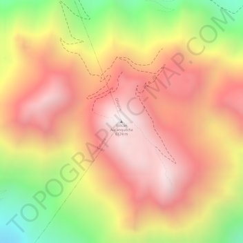
Name: Volcán Aucanquilcha topographic map, elevation, terrain.
Average elevation: 5,808 m
Minimum elevation: 5,202 m
Maximum elevation: 6,177 m
Make a donation
Gear up for your next adventure:
As an Amazon Associate, this site earns from qualifying purchases at no extra cost to you.