
濮阳市城乡一体化示范区 topographic map
Interactive map
Click on the map to display elevation.
About this map
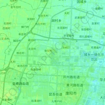
Name: 濮阳市城乡一体化示范区 topographic map, elevation, terrain.
Location: 濮阳市城乡一体化示范区, 濮阳市, 河南省, 中国 (35.78509 114.93396 35.82780 115.07233)
Average elevation: 54 m
Minimum elevation: 50 m
Maximum elevation: 59 m
Other topographic maps
Click on a map to view its topography, its elevation and its terrain.