
Kanz topographic map
Interactive map
Click on the map to display elevation.
About this map
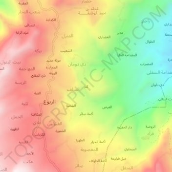
Name: Kanz topographic map, elevation, terrain.
Location: Kanz, As Salaf, Hubaysh District, Ibb Governorate, Yemen (14.04199 44.08108 14.08199 44.12108)
Average elevation: 2,133 m
Minimum elevation: 1,708 m
Maximum elevation: 2,487 m