
Khao Yai topographic map
Interactive map
Click on the map to display elevation.
About this map
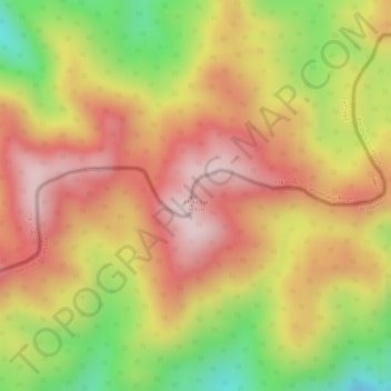
Name: Khao Yai topographic map, elevation, terrain.
Location: Khao Yai, Prachuap Khiri Khan Province, Thailand (11.48005 99.43099 11.48015 99.43109)
Average elevation: 709 m
Minimum elevation: 482 m
Maximum elevation: 858 m
Other topographic maps
Click on a map to view its topography, its elevation and its terrain.
Prachuap Khiri Khan Province
Thailand > Prachuap Khiri Khan Province
Prachuap Khiri Khan Province, Thailand
Average elevation: 105 m