
Make a donation
Gear up for your next adventure:
As an Amazon Associate, this site earns from qualifying purchases at no extra cost to you.
Parque Payaso Fofó topographic map
Click on the map to display elevation.
Make a donation
Gear up for your next adventure:
As an Amazon Associate, this site earns from qualifying purchases at no extra cost to you.
About this map
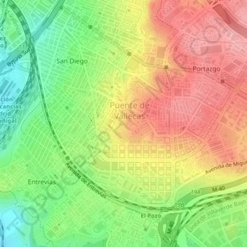
Name: Parque Payaso Fofó topographic map, elevation, terrain.
Average elevation: 635 m
Minimum elevation: 576 m
Maximum elevation: 690 m
Make a donation
Gear up for your next adventure:
As an Amazon Associate, this site earns from qualifying purchases at no extra cost to you.
Other topographic maps
Click on a map to view its topography, its elevation and its terrain.
Palacio Real
España > Comunidad de Madrid > Área metropolitana de Madrid y Corredor del Henares > Madrid
Average elevation: 631 m
Villaverde Alto, Casco Histórico de Villaverde
España > Comunidad de Madrid > Área metropolitana de Madrid y Corredor del Henares > Madrid
Average elevation: 604 m
Valdezarza
España > Comunidad de Madrid > Área metropolitana de Madrid y Corredor del Henares > Madrid
Average elevation: 683 m
Cuatro Vientos
España > Comunidad de Madrid > Área metropolitana de Madrid y Corredor del Henares > Madrid
Average elevation: 682 m
Make a donation
Gear up for your next adventure:
As an Amazon Associate, this site earns from qualifying purchases at no extra cost to you.
Las Águilas
España > Comunidad de Madrid > Área metropolitana de Madrid y Corredor del Henares > Madrid
Average elevation: 676 m
Peñagrande
España > Comunidad de Madrid > Área metropolitana de Madrid y Corredor del Henares > Madrid
Average elevation: 664 m
Casino de la Reina
España > Comunidad de Madrid > Área metropolitana de Madrid y Corredor del Henares > Madrid
Average elevation: 619 m
Valderribas
España > Comunidad de Madrid > Área metropolitana de Madrid y Corredor del Henares > Madrid
Average elevation: 667 m
Make a donation
Gear up for your next adventure:
As an Amazon Associate, this site earns from qualifying purchases at no extra cost to you.
Delicias
España > Comunidad de Madrid > Área metropolitana de Madrid y Corredor del Henares > Madrid
Average elevation: 602 m
Vinateros
España > Comunidad de Madrid > Área metropolitana de Madrid y Corredor del Henares > Madrid
Average elevation: 675 m