
Make a donation
Gear up for your next adventure:
As an Amazon Associate, this site earns from qualifying purchases at no extra cost to you.
Păltiniș topographic map
Click on the map to display elevation.
Make a donation
Gear up for your next adventure:
As an Amazon Associate, this site earns from qualifying purchases at no extra cost to you.
Păltiniș
It is situated at 1440 m altitude, being the highest resort in Romania. It lies in a conifer forest. It is a popular winter destination and in summer it is sought for its peacefulness, fresh air and easily accessible trekking routes.
Make a donation
Gear up for your next adventure:
As an Amazon Associate, this site earns from qualifying purchases at no extra cost to you.
About this map
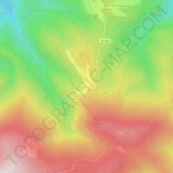
Name: Păltiniș topographic map, elevation, terrain.
Location: Păltiniș, Sibiu, 550001, Romania (45.63305 23.91198 45.67305 23.95198)
Average elevation: 1,405 m
Minimum elevation: 936 m
Maximum elevation: 1,837 m
Make a donation
Gear up for your next adventure:
As an Amazon Associate, this site earns from qualifying purchases at no extra cost to you.