
Cârța topographic map
Interactive map
Click on the map to display elevation.
About this map
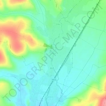
Name: Cârța topographic map, elevation, terrain.
Location: Cârța, Harghita, 537035, Rumanía (46.51307 25.73904 46.55307 25.77904)
Average elevation: 730 m
Minimum elevation: 701 m
Maximum elevation: 800 m