
Gia Ray topographic map
Interactive map
Click on the map to display elevation.
About this map
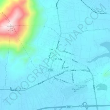
Name: Gia Ray topographic map, elevation, terrain.
Location: Gia Ray, Xuân Lộc District, Đồng Nai Province, Vietnam (10.91050 107.37937 10.94111 107.43677)
Average elevation: 212 m
Minimum elevation: 122 m
Maximum elevation: 820 m
Other topographic maps
Click on a map to view its topography, its elevation and its terrain.
Xuân Hiệp
Vietnam > Dong Nai province > Xuân Lộc District > Xã Xuân Hiệp
Xuân Hiệp, Xã Xuân Hiệp, Xuân Lộc District, Đồng Nai Province, Vietnam
Average elevation: 144 m