
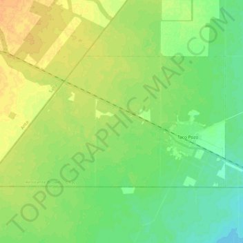
Taco Pozo topographic map
Interactive map
Click on the map to display elevation.
Taco Pozo topographic map, elevation, terrain
About this map
Name: Taco Pozo topographic map, elevation, terrain.
Location: Taco Pozo, Almirante Brown, Chaco, Argentina (-25.64965 -63.42247 -25.55891 -63.23607)
Average elevation: 262 m
Minimum elevation: 250 m
Maximum elevation: 276 m