
Thießen topographic map
Interactive map
Click on the map to display elevation.
About this map
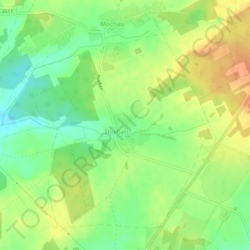
Name: Thießen topographic map, elevation, terrain.
Location: Thießen, Wittenberg, Sachsen-Anhalt, Deutschland (51.90755 12.65606 51.93038 12.69769)
Average elevation: 128 m
Minimum elevation: 107 m
Maximum elevation: 148 m
Other topographic maps
Click on a map to view its topography, its elevation and its terrain.
Nudersdorf
Deutschland > Sachsen-Anhalt > Wittenberg
Nudersdorf, Wittenberg, Sachsen-Anhalt, Deutschland
Average elevation: 118 m