
Mant topographic map
Interactive map
Click on the map to display elevation.
About this map
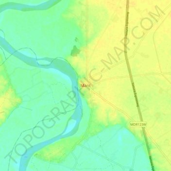
Name: Mant topographic map, elevation, terrain.
Location: Mant, Mathura, Uttar Pradesh, 281202, India (27.59448 77.67151 27.67448 77.75151)
Average elevation: 174 m
Minimum elevation: 163 m
Maximum elevation: 186 m