
Earls Island topographic map
Interactive map
Click on the map to display elevation.
About this map
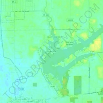
Name: Earls Island topographic map, elevation, terrain.
Location: Earls Island, Shelby County, Ohio, 45865, USA (40.35005 -84.37773 40.39005 -84.33773)
Average elevation: 294 m
Minimum elevation: 286 m
Maximum elevation: 306 m