
Peachtree Corners topographic map
Interactive map
Click on the map to display elevation.
About this map
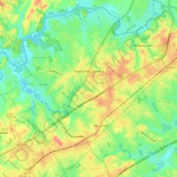
Name: Peachtree Corners topographic map, elevation, terrain.
Average elevation: 303 m
Minimum elevation: 266 m
Maximum elevation: 355 m
Other topographic maps
Click on a map to view its topography, its elevation and its terrain.
Pine Ridge Country Club Estates
United States > Georgia > Gwinnett County > Lawrenceville
Average elevation: 323 m