
Ben Khellil topographic map
Interactive map
Click on the map to display elevation.
About this map
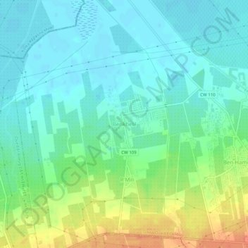
Name: Ben Khellil topographic map, elevation, terrain.
Location: Ben Khellil, Daïra Oued El Alleug, Blida, Algérie (36.56820 2.81697 36.60820 2.85697)
Average elevation: 25 m
Minimum elevation: 11 m
Maximum elevation: 55 m