Geolocate

Dewar topographic map

Click on the map to display elevation.

About this map

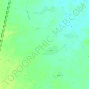
Name: Dewar topographic map, elevation, terrain.

Location: Dewar, Unchahara Tahsil, Satna, Madhya Pradesh, India (24.43034 80.81225 24.45082 80.83639)

Average elevation: 315 m

Minimum elevation: 306 m

Maximum elevation: 322 m

Gear up for your next adventure:

📱Rugged Phone Cases - Heavy-duty protection for smartphones used as secondary GPS tools
🧥Waterproof Hiking Jackets - Rain protection for walking in all weather conditions
🧤Hiking Gloves - Warm and durable gloves for cold-weather walks
🧣Neck Gaiters - Protects against wind and sun on exposed ridges and peaks
🐕Hiking Dog Harnesses - Rugged harnesses for taking your companion on mountain trails

As an Amazon Associate, this site earns from qualifying purchases at no extra cost to you.