
Fonthill topographic map
Interactive map
Click on the map to display elevation.
About this map
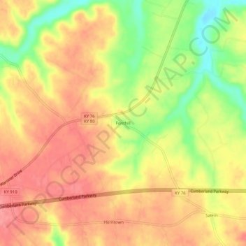
Name: Fonthill topographic map, elevation, terrain.
Location: Fonthill, Russell County, Kentucky, USA (37.06396 -85.02356 37.10396 -84.98356)
Average elevation: 302 m
Minimum elevation: 251 m
Maximum elevation: 333 m