
Thank you for supporting this site ❤️
Make a donation
Make a donation
Gear up for your next adventure:
As an Amazon Associate, this site earns from qualifying purchases at no extra cost to you.
Islampur topographic map
Click on the map to display elevation.
Thank you for supporting this site ❤️
Make a donation
Make a donation
Gear up for your next adventure:
As an Amazon Associate, this site earns from qualifying purchases at no extra cost to you.
About this map
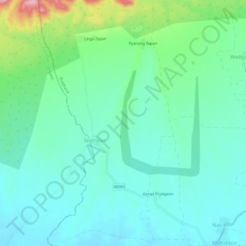
Name: Islampur topographic map, elevation, terrain.
Location: Islampur, Jalgaon Jamod, Buldhana District, Maharashtra, India (21.01463 76.38695 21.06472 76.41618)
Average elevation: 312 m
Minimum elevation: 271 m
Maximum elevation: 447 m
Thank you for supporting this site ❤️
Make a donation
Make a donation
Gear up for your next adventure:
As an Amazon Associate, this site earns from qualifying purchases at no extra cost to you.