Geolocate

Fort Chipewyan topographic map

Click on the map to display elevation.

About this map

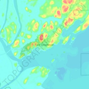
Name: Fort Chipewyan topographic map, elevation, terrain.

Location: Fort Chipewyan, Wood Buffalo, Alberta, T0P 1B0, Canada (58.67664 -111.19002 58.75664 -111.11002)

Average elevation: 217 m

Minimum elevation: 206 m

Maximum elevation: 277 m

Other topographic maps

Click on a map to view its topography, its elevation and its terrain.

Namur Lake 174A

Canada > Alberta > Wood Buffalo

Average elevation: 732 m

Gear up for your next adventure:

🔦Head Torches - Hands-free lighting for hiking and camping
🥫Expedition Meals - Lightweight, high-calorie nutrition for long-distance hikers
📷Outdoor Action Cameras - Cameras designed for hiking and adventure
🥼Base Layers - Thermal base layers for temperature regulation
📢Survival Whistles - Essential safety gear for signaling for help in mountain fog

As an Amazon Associate, this site earns from qualifying purchases at no extra cost to you.