
Malone topographic map
Interactive map
Click on the map to display elevation.
About this map
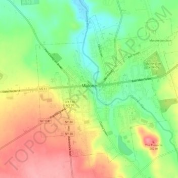
Name: Malone topographic map, elevation, terrain.
Location: Malone, Franklin County, New York, 12953, États-Unis (44.83257 -74.31087 44.86666 -74.25839)
Average elevation: 231 m
Minimum elevation: 180 m
Maximum elevation: 289 m