Geolocate

Hayfield topographic map

Click on the map to display elevation.

About this map

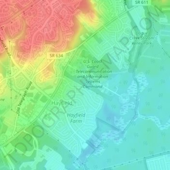
Name: Hayfield topographic map, elevation, terrain.

Location: Hayfield, Fairfax County, Virginia, United States (38.74115 -77.14755 38.76713 -77.12005)

Average elevation: 28 m

Minimum elevation: 4 m

Maximum elevation: 72 m

Gear up for your next adventure:

Camping Shelters - Emergency and lightweight shelters for outdoor use
🧼Camping Hygiene Kits - Compact hygiene essentials for outdoor stays
🧦Hiking Socks - Breathable socks designed to prevent blisters on long walks
🗺️Topographic Maps - Detailed maps showing elevation and terrain features
🍲Portable Camping Stoves - Fast-boiling stoves for hot meals on remote topographic survey trips

As an Amazon Associate, this site earns from qualifying purchases at no extra cost to you.