
Ravine des Fiagues topographic map
Interactive map
Click on the map to display elevation.
About this map
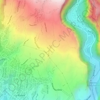
Name: Ravine des Fiagues topographic map, elevation, terrain.
Average elevation: 389 m
Minimum elevation: 160 m
Maximum elevation: 662 m
Other topographic maps
Click on a map to view its topography, its elevation and its terrain.
Le Ouaki
France > La Réunion > La Rivière
Le Ouaki, La Rivière, Saint-Louis, Saint-Pierre, La Réunion, 97421, France
Average elevation: 176 m