
Tchilumbi topographic map
Interactive map
Click on the map to display elevation.
About this map
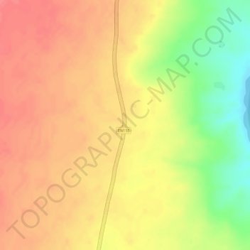
Name: Tchilumbi topographic map, elevation, terrain.
Location: Tchilumbi, Matala, Huíla, Angola (-15.30562 15.26694 -15.28562 15.28694)
Average elevation: 1,184 m
Minimum elevation: 1,135 m
Maximum elevation: 1,208 m
Other topographic maps
Click on a map to view its topography, its elevation and its terrain.