
Pollos topographic map
Interactive map
Click on the map to display elevation.
About this map
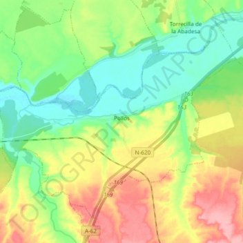
Name: Pollos topographic map, elevation, terrain.
Location: Pollos, Valladolid, Castilla y León, España (41.39762 -5.20360 41.48590 -5.05572)
Average elevation: 699 m
Minimum elevation: 658 m
Maximum elevation: 764 m