
Falls Church topographic map
Interactive map
Click on the map to display elevation.
About this map
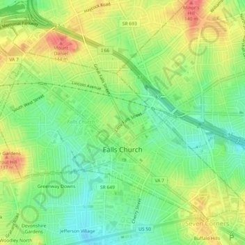
Name: Falls Church topographic map, elevation, terrain.
Location: Falls Church, Virginia, 22046, United States (38.87247 -77.19488 38.89984 -77.14970)
Average elevation: 104 m
Minimum elevation: 74 m
Maximum elevation: 140 m