Geolocate

Sector 21 topographic map

Click on the map to display elevation.

About this map

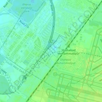
Name: Sector 21 topographic map, elevation, terrain.

Location: Sector 21, New Delhi, Delhi, 110061, India (28.54629 77.05435 28.57196 77.07236)

Average elevation: 217 m

Minimum elevation: 210 m

Maximum elevation: 223 m

Other topographic maps

Click on a map to view its topography, its elevation and its terrain.

Mahipalpur

India > Delhi > New Delhi

Average elevation: 247 m

Ghitorni

India > Delhi > New Delhi

Average elevation: 268 m

D1 Janakpuri Park

India > Delhi > New Delhi

Average elevation: 219 m

Gear up for your next adventure:

🔋Rechargeable Batteries - Eco-friendly power for headlamps and older GPS units
🧼Camping Hygiene Kits - Compact hygiene essentials for outdoor stays
🧭GPS Trackers - Tracking devices for safety and navigation
🍲Portable Camping Stoves - Fast-boiling stoves for hot meals on remote topographic survey trips
🔦Keychain LED Torches - Emergency backup light for finding gear in your pack

As an Amazon Associate, this site earns from qualifying purchases at no extra cost to you.