
Mont Oak topographic map
Interactive map
Click on the map to display elevation.
About this map
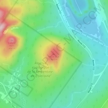
Name: Mont Oak topographic map, elevation, terrain.
Average elevation: 318 m
Minimum elevation: 236 m
Maximum elevation: 512 m
Other topographic maps
Click on a map to view its topography, its elevation and its terrain.
Lac Caribou
Canada > Québec > Saint-Joseph-de-Coleraine
Lac Caribou, Chemin du Lac-Caribou Ouest, Saint-Joseph-de-Coleraine, Les Appalaches, Chaudière-Appalaches, Québec, Canada
Average elevation: 367 m