
Kaesong topographic map
Interactive map
Click on the map to display elevation.
About this map
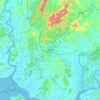
Name: Kaesong topographic map, elevation, terrain.
Location: Kaesong, Phanmun-guyok, Kaesong, North Korea (37.81170 126.39276 38.13170 126.71276)
Average elevation: 85 m
Minimum elevation: -3 m
Maximum elevation: 741 m