Geolocate

Bandala topographic map

Click on the map to display elevation.

About this map

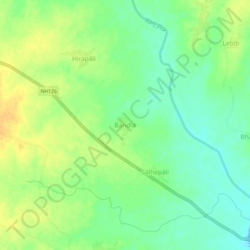
Name: Bandala topographic map, elevation, terrain.

Location: Bandala, Sohela, Bargarh District, Odisha, India (21.24928 83.43528 21.28928 83.47528)

Average elevation: 203 m

Minimum elevation: 189 m

Maximum elevation: 218 m

Gear up for your next adventure:

🗺️Ordnance Survey Maps - Official UK maps for walking and outdoor activities
🧣Fleece Neck Warmers - Extra insulation for winter topographic surveys
📚UK Hiking Guidebooks - Detailed route descriptions for the Lake District, Peaks, and Highlands
🔦Outdoor Torches - Reliable torches for night navigation
📍Handheld GPS Navigators - Reliable satellite navigation for hiking and off-road exploration

As an Amazon Associate, this site earns from qualifying purchases at no extra cost to you.