
Gandhipuram topographic map
Interactive map
Click on the map to display elevation.
About this map
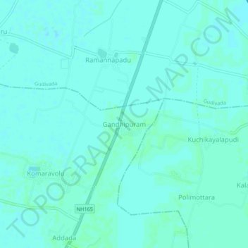
Name: Gandhipuram topographic map, elevation, terrain.
Location: Gandhipuram, Krishna, Andhra Pradesh, India (16.35712 80.97536 16.39712 81.01536)
Average elevation: 7 m
Minimum elevation: 5 m
Maximum elevation: 10 m