
River Drynoch topographic map
Click on the map to display elevation.
About this map
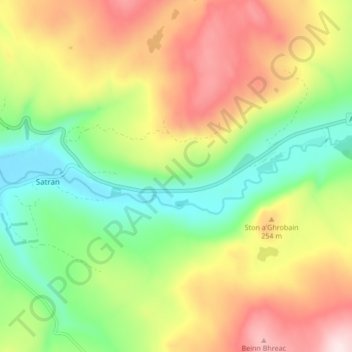
Name: River Drynoch topographic map, elevation, terrain.
Location: River Drynoch, Satran, Highland, Scotland, United Kingdom (57.29387 -6.31594 57.30373 -6.23115)
Average elevation: 175 m
Minimum elevation: 0 m
Maximum elevation: 399 m
Highland trails, hiking, mountain biking, running and outdoor activities