
La Laguna topographic map
Interactive map
Click on the map to display elevation.
About this map
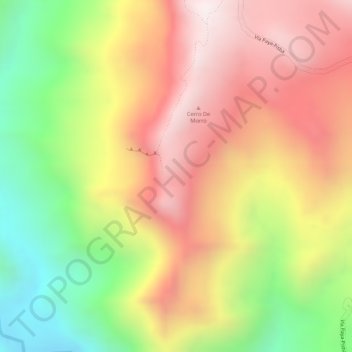
Name: La Laguna topographic map, elevation, terrain.
Location: La Laguna, Paya, morcote, Boyacá, Colombia (5.64959 -72.44747 5.66959 -72.42747)
Average elevation: 1,272 m
Minimum elevation: 856 m
Maximum elevation: 1,598 m
Other topographic maps
Click on a map to view its topography, its elevation and its terrain.