
우각리 topographic map
Interactive map
Click on the map to display elevation.
About this map
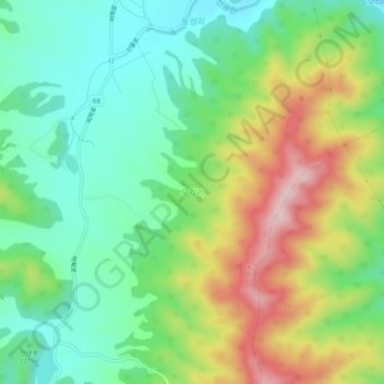
Name: 우각리 topographic map, elevation, terrain.
Location: 우각리, 북구, 포항시, Gyeongsang do Norte, Coreia do Sul (36.08699 129.24910 36.12699 129.28910)
Average elevation: 154 m
Minimum elevation: 53 m
Maximum elevation: 326 m