
Fiume Centa topographic map
Interactive map
Click on the map to display elevation.
About this map
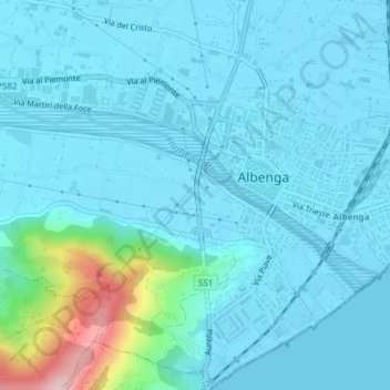
Name: Fiume Centa topographic map, elevation, terrain.
Location: Fiume Centa, Bastia, Albenga, Savona, Liguria, Italia (44.04161 8.18739 44.05436 8.22286)
Average elevation: 33 m
Minimum elevation: -1 m
Maximum elevation: 281 m