
Ban Na topographic map
Interactive map
Click on the map to display elevation.
About this map
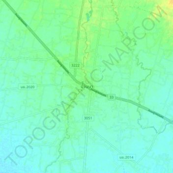
Name: Ban Na topographic map, elevation, terrain.
Location: Ban Na, Phikun Ok, Nakhon Nayok Province, Thailand (14.22075 101.03118 14.30075 101.11118)
Average elevation: 11 m
Minimum elevation: 4 m
Maximum elevation: 26 m